

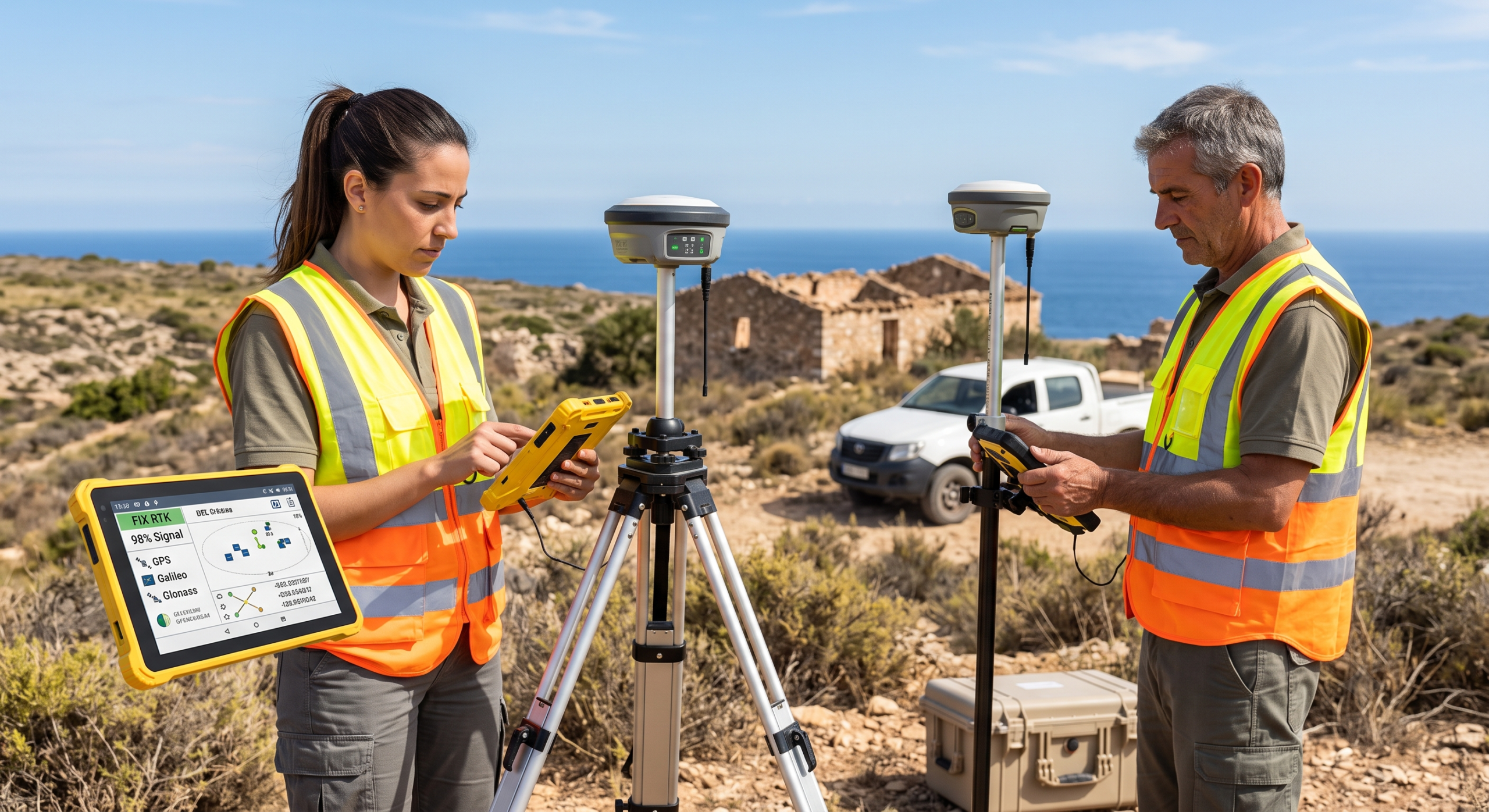
For most of the last two decades, a professional RTK GNSS setup meant one conversation: Trimble, Leica, or Topcon, and a five-figure invoice. That’s no longer the full picture. The core technology behind centimeter-level positioning — multi-band tracking, carrier-phase ambiguity resolution, IMU-based tilt compensation — has matured and spread across a much wider set of manufacturers, and the price gap between a «premium» receiver and a genuinely capable one has narrowed faster than most procurement decisions have caught up with.
This comparison is built around one question: where does the money you spend on a GNSS receiver actually buy you something, and where is it paying for a badge?
What Actually Drives RTK Performance
Before ranking anything, know what to check on a spec sheet — because marketing language across this category is remarkably uniform.
- Constellation and signal support. Full tracking across GPS, GLONASS, Galileo, BeiDou, and QZSS is table stakes now, even on value-tier receivers. The differentiator has shifted to how well a receiver holds a fix under canopy or near structures, not how many constellations it lists.
- Tilt compensation method. IMU-based tilt compensation that’s factory-calibrated and doesn’t require the surveyor to re-level the pole is now standard on serious receivers, and it materially speeds up fieldwork around structures, walls, and hard-to-reach points. Cheaper implementations exist that require manual calibration steps or degrade past a modest tilt angle — check this specifically rather than assuming «tilt compensation» means the same thing across brands.
- Correction source and connectivity. NTRIP over built-in LTE is the default workflow almost everywhere with CORS coverage. UHF or LoRa radio links remain essential for base-and-rover setups on remote sites without cellular coverage or a nearby CORS network.
- Fix reliability, not just headline accuracy. Every receiver in this category will claim centimeter accuracy. What separates a good field tool from a frustrating one is how fast it resolves an RTK fix, and how consistently it holds that fix in marginal conditions — dense canopy, urban multipath, steep terrain.
- Field software and data-collector compatibility. A receiver is only as good as the controller software running on top of it. Confirm compatibility with the survey software your crew already uses — Carlson, SurvCE, FieldGenius, or the manufacturer’s own app — before buying, since re-training a crew on new field software is a real hidden cost.
The 2026 Landscape, by Tier
Premium Tier: Trimble, Leica, Topcon
These three remain the reference point for legally certified boundary work, large survey firms with existing dealer relationships, and any operation where a manufacturer-backed support contract and a dense local dealer network matter as much as the hardware itself. You’re paying for field-proven reliability across decades of firmware maturity, dealer-level calibration and repair services, and — often decisively — the fact that your existing data collectors, workflows, and staff training are already built around that ecosystem. Switching away from an established premium setup rarely pays for itself unless you’re building a second fleet from scratch or your dealer relationship has broken down.
Value/Prosumer Tier: Emlid Reach RS3
The Emlid Reach RS3 is the receiver most responsible for resetting expectations about what a sub-premium GNSS unit can do. It combines full multi-constellation tracking with calibration-free IMU tilt compensation, built-in LTE and LoRa connectivity for NTRIP or radio corrections, and field-rated durability, at a price that sits well under half of a comparable premium single-receiver setup. It logs raw data in RINEX format for PPK post-processing and integrates with common field workflows through Emlid’s own Flow app or third-party survey software.
The honest tradeoff: Emlid doesn’t have the decades-deep dealer and calibration-service network of the premium three, and its ecosystem, while mature, is smaller. For independent surveyors, small firms, and any team comfortable with a more self-service support model, this is where the value argument is strongest in 2026.
Established Mid-Professional Tier: CHC Navigation and Peers
CHC Navigation, along with other established international survey-equipment manufacturers, occupies the middle ground: professional build quality and support infrastructure closer to the premium tier, at pricing closer to the value tier. CHC Navigation’s current flagship, the i93, adds IMU-assisted positioning with dual-camera visual stakeout — letting a surveyor sight a target through the receiver’s cameras and get a guided, on-screen distance and direction to the stakeout point — plus a base-station-free PPP-RTK correction service for centimeter accuracy without a local base or NTRIP network. This tier is worth serious consideration for firms that want a support and calibration infrastructure closer to premium-brand expectations without paying the full premium-brand price.
Side-by-Side Comparison
| Tier | Example | Strongest for | Watch for |
|---|---|---|---|
| Premium | Trimble / Leica / Topcon flagship rovers | Legally certified boundary work, large firms with existing dealer infrastructure | Highest acquisition and service cost |
| Established mid-professional | CHC Navigation i93 | Firms wanting professional support infrastructure at a lower price point, visual stakeout workflows | Dealer network less dense than the premium three in some regions |
| Value / prosumer | Emlid Reach RS3 | Independent surveyors, small firms, teams comfortable with self-service support | Smaller dealer/calibration network; verify field-software compatibility before buying |
Where NOT to Cut Corners
However you allocate budget across this comparison, don’t compromise on:
- Genuine multi-band, multi-constellation tracking — single-frequency or GPS-only units cannot deliver reliable survey-grade fixes in real field conditions.
- A tilt-compensation implementation you’ve actually verified, not just one listed on a spec sheet — ask for real-world tilt-angle accuracy figures, not marketing claims.
- Field-software compatibility with your existing workflow — a cheaper receiver that forces a full software migration can cost more in retraining and lost productivity than the money it saved on hardware.
- A correction strategy that matches your actual sites — confirm your receiver’s NTRIP/CORS compatibility if you work in cellular-covered areas, or its radio range and base-station reliability if you regularly work off-grid.
Buying Advice by Surveyor Profile
- Independent surveyor or small firm, cost-sensitive, comfortable with a more self-directed support model → Emlid Reach RS3, budgeted alongside a base-station unit or NTRIP subscription.
- Growing firm wanting a bridge between value pricing and professional-grade support → CHC Navigation or a comparable established mid-professional manufacturer, particularly if base-station-free PPP-RTK correction fits your typical site conditions.
- Firm doing certified boundary/legal survey work, or already deep in a premium-brand ecosystem → Stay with Trimble, Leica, or Topcon; the dealer support, calibration infrastructure, and workflow continuity are worth the premium in this specific use case.
- Mixed fleet strategy → Many firms now run a premium rover for certified boundary work and a value-tier unit for topographic surveys, construction stakeout, and GIS data collection — a genuinely efficient way to match spend to the accuracy and liability requirements of each job type.
Final Verdict
The premium-brand tax is real, but so is the reason it exists: dealer infrastructure, calibration services, and decades of field-proven firmware carry genuine value for certified legal survey work. What changed by 2026 is that this is no longer the only legitimate tier. For a large share of topographic, construction, and GIS data-collection work, a value-tier receiver like the Emlid Reach RS3, or an established mid-professional option like CHC Navigation’s current lineup, delivers field-usable centimeter accuracy at a fraction of the acquisition cost — provided you verify tilt-compensation quality, fix reliability, and field-software compatibility before you buy, rather than after.
Match the receiver to the liability and precision requirement of the job, not to the brand name on the case.
Weighing a specific setup — base-and-rover kit versus a base-station-free PPP-RTK service, or which field software to standardize on? Get in touch and we’ll help you spec it against your actual project mix.