

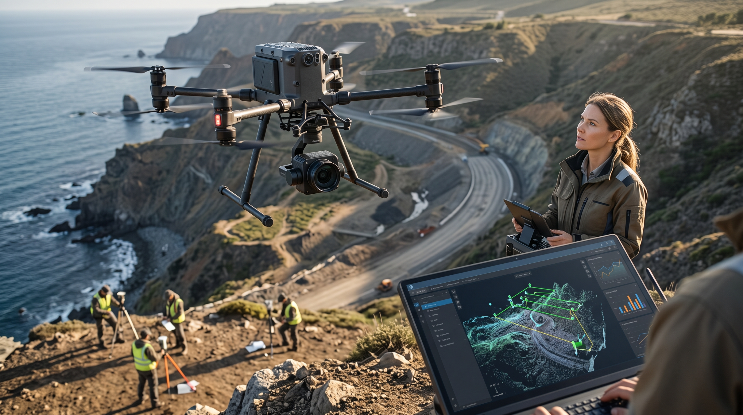
A survey-grade drone isn’t a camera with propellers. It’s a positioning system first, and an imaging platform second. Get that order backwards and you’ll own a drone that produces beautiful maps with mediocre absolute accuracy — which, on a construction site or a cadastral boundary, is the one thing you can’t afford to get wrong.
This guide is written for the buyer who already knows what an orthomosaic is and needs to decide, in 2026, which platform actually earns its budget line.
The Decision That Comes Before the Drone: Photogrammetry or LiDAR?
Every buying guide should start here, because it determines everything else.
- Photogrammetry (structure-from-motion) reconstructs 3D geometry from overlapping RGB photos. It’s cheaper, produces excellent visual detail and orthophotos, and is the standard for open terrain, stockpile volumes, and general topographic mapping.
- LiDAR fires laser pulses and measures the reflection, which means it can penetrate vegetation gaps to capture bare-earth terrain underneath tree canopy — something photogrammetry structurally cannot do. It’s the right call for corridor mapping, forested sites, and power-line inspection, at a meaningfully higher hardware cost.
Some 2026 platforms let you swap between a photogrammetry camera and a LiDAR payload on the same airframe, which is worth prioritizing if your project mix isn’t uniform.
What Actually Determines Survey Accuracy
Before comparing models, know what you’re evaluating them against:
- RTK (Real-Time Kinematic) or PPK (Post-Processed Kinematic) positioning — this is what gets you to centimeter-level absolute accuracy, with or without ground control points (GCPs). A non-RTK consumer drone simply cannot deliver survey-grade results no matter how good the camera is.
- Ground Sample Distance (GSD) — the real-world size represented by one pixel. Lower GSD means finer detail, but is a function of sensor resolution, lens, and flight altitude together, not the camera alone.
- Sensor size and global shutter — a larger sensor with a global (not rolling) shutter avoids the geometric distortion that rolling-shutter cameras introduce during forward motion, which matters a lot for photogrammetric accuracy.
- Flight time and coverage per battery — determines how much ground you can cover per mobilization, which is a real cost driver on large sites.
The 2026 Market, Tier by Tier
Entry Tier (~$1,500–$3,000): Learning and Small Sites
Compact RTK-enabled multirotors in this range are a reasonable way to build internal drone-mapping capability or handle small residential and commercial parcels. They won’t replace a licensed survey crew on anything requiring legal boundary certification, but they’re a legitimate tool for progress photos, quick volumetrics, and site familiarization before a full survey mobilization.
Mid Tier — Enterprise Multirotor (~$8,000–$15,000): The Workhorse
This is where most engineering and surveying firms actually operate day to day. DJI’s enterprise multirotor line — the Mavic 3 Enterprise generation and its 2026 successor, the Mavic 4E — pairs RTK positioning with a large sensor in a portable, hover-capable airframe. The practical advantage over fixed-wing platforms is simple: multirotors can hover, which means they handle tight, obstructed, or vertical sites (quarries, building facades, urban infill) that a fixed-wing drone can’t touch.
If your project mix is mostly small-to-medium sites, construction progress monitoring, or stockpile volumetrics, this tier is very hard to beat on cost per project.
Professional Tier — Heavy Multirotor with Swappable Payloads (~$15,000–$25,000+): DJI Matrice 400
The DJI Matrice 400 (M400) is DJI’s current flagship survey platform, effectively succeeding the widely deployed Matrice 350 RTK as the backbone of professional drone-survey fleets. What makes it the professional-tier reference point is payload flexibility: pair it with the Zenmuse P1 — a large full-frame photogrammetry camera capable of sub-centimeter GSD at typical survey altitudes — for large-area orthomosaics, or swap to the Zenmuse L3 LiDAR sensor, capturing hundreds of thousands of points per second, when you need bare-earth terrain models under vegetation or dense, survey-grade point clouds.
This is the platform to budget for if your firm regularly handles regional topographic surveys, utility corridor mapping, or mixed photogrammetry/LiDAR project loads and needs one fleet that flexes between both.
Fixed-Wing VTOL Tier (~$20,000+): Maximum Coverage
For large linear corridors, regional mapping, or agricultural-scale sites where covering the most ground per flight hour matters more than hovering flexibility, fixed-wing VTOL platforms like the WingtraRAY or senseFly eBee family are the professional standard. These trade hover capability and obstacle tolerance for dramatically longer flight endurance — commonly 60 to well over 90 minutes per flight — and can fly PPK missions that achieve strong absolute accuracy without needing to place ground control points across a huge site. The tradeoff: hand-launch operation, no hover, and a real learning curve for crews used to multirotor platforms.
Quick Comparison
| Tier | Example platform | Best for | Typical accuracy | Hover capable |
|---|---|---|---|---|
| Entry | Compact RTK multirotor | Small sites, internal capability building | Centimeter-level with GCPs | Yes |
| Enterprise multirotor | DJI Mavic 4E | Day-to-day construction & land surveys | 1–3 cm RTK | Yes |
| Professional heavy multirotor | DJI Matrice 400 + Zenmuse P1/L3 | Regional surveys, mixed photogrammetry/LiDAR loads | Sub-cm GSD (P1) / dense LiDAR point clouds (L3) | Yes |
| Fixed-wing VTOL | WingtraRAY, eBee X | Large corridors, regional mapping, agriculture | 1–3 cm PPK, no GCPs required | No |
Software Doesn’t Come Free with the Hardware
The drone is half the workflow. For boundary surveys or any topographic mapping where sub-centimeter absolute accuracy is a legal or contractual requirement, industry-standard desktop photogrammetry software — Pix4D Mapper or Agisoft Metashape — paired with surveyed ground control points remains the professional benchmark, and both export cleanly to CAD and GIS formats your downstream QGIS or ArcGIS Pro workflow will need. Budget for the software license and the processing workstation (a strong GPU pays for itself in re-processing time) as part of the same purchase decision, not as an afterthought once the drone arrives.
Buying Checklist Before You Sign the PO
- Match the payload to the terrain, not the marketing. Vegetation-heavy sites need LiDAR; open terrain rarely justifies its added cost.
- Confirm RTK/PPK compatibility with your existing base station or NTRIP correction network — a drone that can’t talk to your CORS network loses most of its accuracy advantage.
- Model flight time against your actual site sizes, not the manufacturer’s ideal-conditions number — wind, payload weight, and cold weather all cut real-world endurance.
- Confirm local drone regulations for your flight profile — corridor and BVLOS (beyond visual line of sight) missions carry different regulatory requirements than a single small-site flight, and this varies significantly by country.
- Price the software and processing workstation alongside the airframe. A drone without a matching photogrammetry or LiDAR processing license is an expensive camera.
Final Verdict
There is no single «best» survey drone in 2026 — there’s a best drone for your project mix. Firms running mostly small-to-medium, mixed-terrain jobs get the best return from an enterprise multirotor like the Mavic 4E. Firms handling regional or mixed photogrammetry/LiDAR workloads should budget for the DJI Matrice 400 platform and its Zenmuse payloads. Firms mapping large linear corridors or agricultural-scale areas should be pricing out fixed-wing VTOL platforms instead of trying to stretch a multirotor’s flight time to cover ground it wasn’t designed for.
Buy for the terrain and accuracy requirement you actually have, not the flagship you’ve seen in someone else’s site photos.
Trying to decide between LiDAR and photogrammetry for a specific site, or want a processing-software comparison to go with the hardware? Get in touch and we’ll help you spec the full workflow.